Unmanned Aerial Vehicles
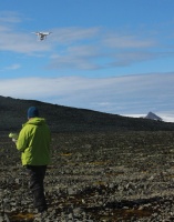
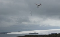
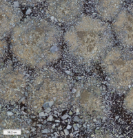
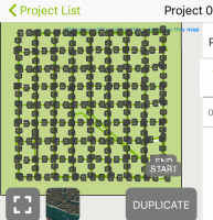
UAVs are adequate systems for mapping and monitoring land surfaces with unprecedent detail in rapid and frequent assessment procedures. CERENA owns some UAV equipment that is being used in several projects in national and international collaborations. These platforms can carry multiple sensors, mainly optical cameras and LiDAR, to acquire ultra-high-resolution datasets for geological and geomorphological mapping, vegetation and forest monitoring or environmental monitoring.