About
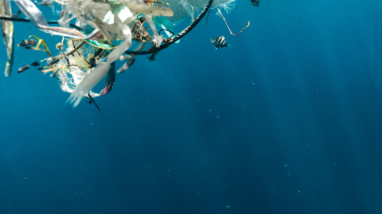
It is estimated that 80% of all floating debris are marine plastics. These plastics are eventually ingested by marine species or act as a trap causing severe injuries and deaths for marine life. Marine plastic pollution is a substantial threat to wildlife and human health. The ability to detect floating plastic debris in short periods of time after they enter the ocean is a mitigating factor, which avoids the degradation of the macroplastics into smaller pieces and the consequential threat to the food chain. Leveraging on the breadth of experience of the SMART consortium on deep learning, at its first stage, the SMART proposal aims at identifying different types of floating debris from satellite images and exploring the possibility to distinguish between different types of plastic. However, the project is not limited to the already challenging task of identifying floating plastic debris from satellite images. SMART is an intelligent framework based on physics-informed learning, which combines automatic identification and classification of floating plastic debris from satellite images, spatiotemporal modelling of plastic accumulations with high-resolution numerical ocean modeling and physics-guided machine learning and a distributed system of sensors mounted on low-cost marine autonomous vehicles for long-term deployment and validation of the model results. This unique combination will allow us to bypass the need of running full ocean numerical models at small-scale simulation grids, which brings numerical instabilities and assesses uncertainties about the spatiotemporal predictions. Instead, the final outcome for the end-user will be a probability of plastic occurrence map at any time step required in the past and in the future. The probability of plastic occurrence map will allow authorities to devise strategies for ocean clean-up while making decisions under uncertainty. The project will be developed using two pilot sites in the North Atlantic and the results obtained will be validated in situ using low-cost marine autonomous vehicles, which will collect samples at key sensitive regions predicted by the model.


